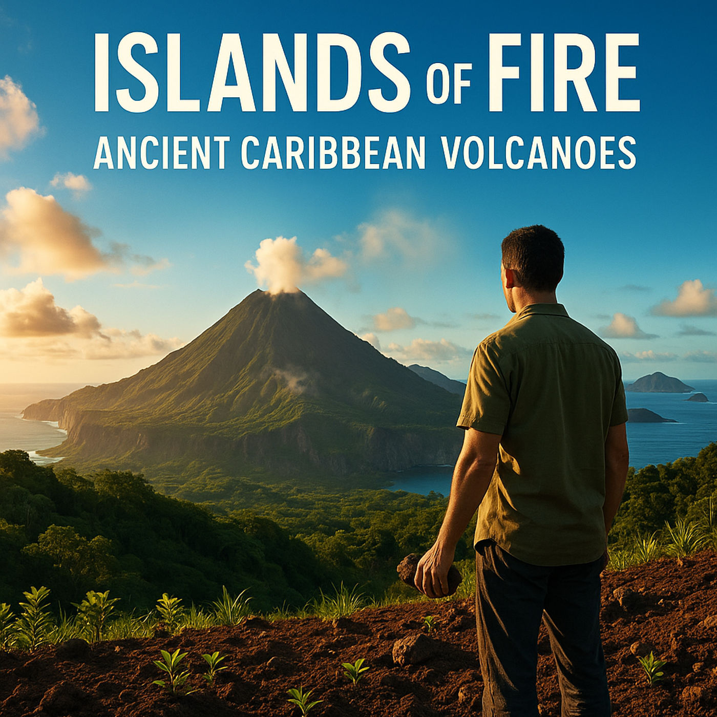
Islands of Fire: How Volcanoes Shaped the Ancient Caribbean Map explores how volcanic forces built the islands of the Lesser Antilles and influenced the earliest movements of people across the region. Through a field-based narrative, the series follows the birth of volcanic peaks, the migrations shaped by eruptions, and the ways ancient Caribbean communities interpreted the earth’s signals. It also examines how volcanic ash evolved into fertile soil that supported early agriculture. This is a grounded, cultural history account that connects geology, archaeology, and human resilience.
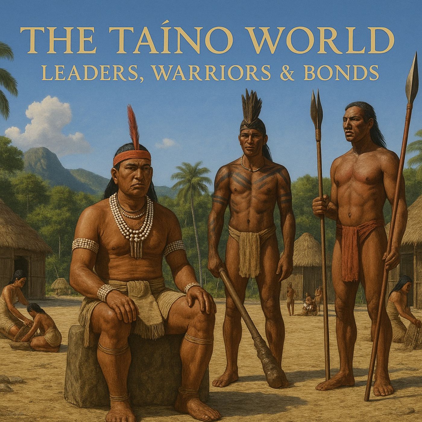
Journey into the heart of Taíno leadership, defense, and daily life in Episode 4 of The Taíno World: Society and Spirituality. Discover the role...
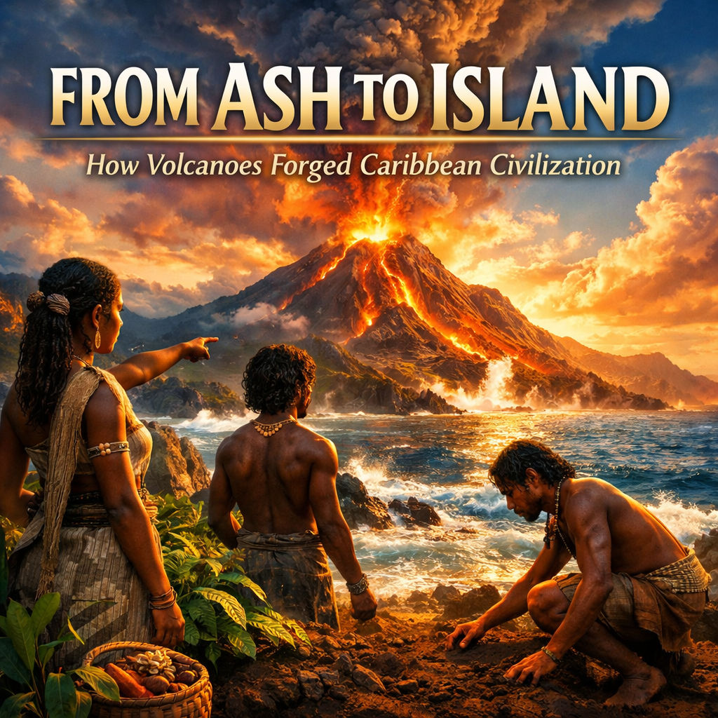
From Ash to Island: How Volcanoes Forged Caribbean Civilization examines the Caribbean not as a passive paradise, but as a region born from geological...
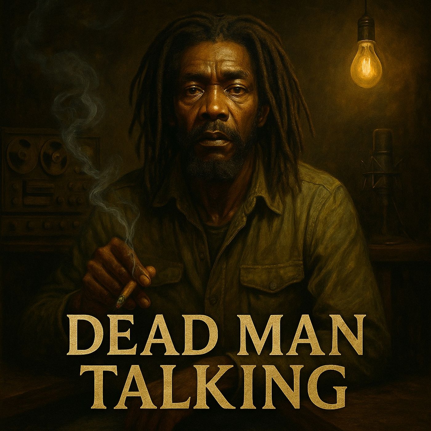
This haunting insight revisits Peter Tosh’s final interview before his assassination in 1987. Through reconstructed detail and historical memory, we hear the last words...